Urbanization is often referred to as the development of human habitats in todays’ world. One of the major characteristics of urbanization includes the change of natural land cover with dense concentrations of built environment i.e. buildings, pavementand other surfaces. These surfaces absorb and retain heat causing Urban Heat Island Effect. Urbanization whilst intends in providing quality of life for humans,…
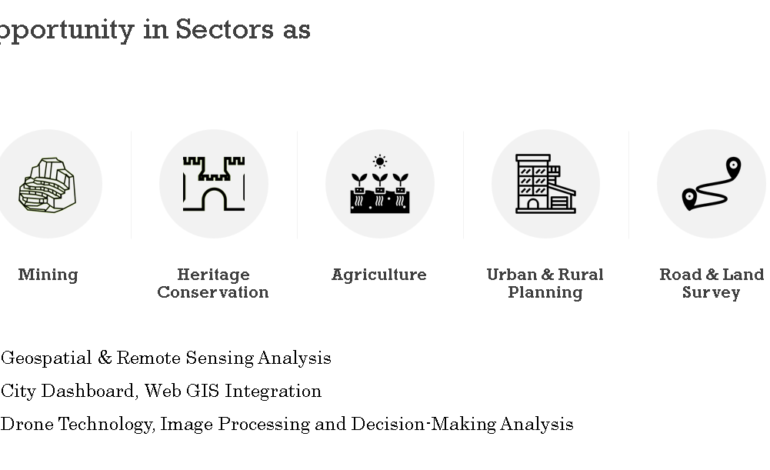
What are drones used for in surveying ? Drones have the ability to capture high resolution and accurate data quickly and easily which can be processed in software to produce orthomosaics or 3D models. It can also extract minute details and features like sign boards, curbs, road markers, drains etc. So, let’s know in detail where all drones can be…

How to do a drone survey? Check before you leave the office: Check with the local authorities and the rules and regulations to make sure that one is allowed to fly the drone at the planned location. Furthermore, validate that the weather is suitable – no rain, storm etc. Check the battery of the drone as well as of the…
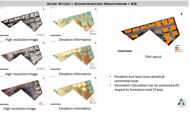
BENEFITS OF GIS IN CONSTRUCTION INDUSTRY The benefits of GIS are very tangible in the construction industry especially for project managers, site engineers and also clients. For the project managers, it helps in evaluating the project and ensuring that the desired standards are met. It is used as a tool to review performance of the project and its execution. So,…
Beyond Conventional Salt Farming Salt – a run-of-the-mill ingredient!! The production of this mundane ingredient of every kitchen has a long history of over 5000 years. The country even witnessed a massive movement popularly known as “Salt March” to disobey the Britishers’ lucrative control on salt farming and selling. Ever Since the conventional process of salt production is being followed…