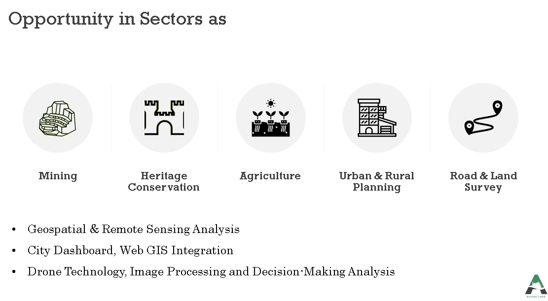
What are drones used for in surveying ?
Drones have the ability to capture high resolution and accurate data quickly and easily which can be processed in software to produce orthomosaics or 3D models. It can also extract minute details and features like sign boards, curbs, road markers, drains etc. So, let’s know in detail where all drones can be used for the survey.
Once the data has been processed using software, from the data one can produce detailed models, elevations, contour lines and 3D reconstructions of sites and buildings.
Land management and development
For land management and planning, drone can capture aerial images with high accuracy and can simplify the topographic surveys. The same is applicable for site scouting, construction of roads, buildings etc. It can also be helpful in regards of pre-construction engineering studies and can give the basic idea and using the data one can easily produce 3D models via CAD or BIM software. As drone survey saves time, money and manpower so data collection becomes easier. One can collect the data multiple times to monitor the growth and development at low cost and manage things accordingly.
Drone can produce orthophotos with high resolution so that the data collected can be accurate. It can measure distances and surface measurements precisely.
Stockpile volumetric measurements
It becomes possible to obtain the volumetric measurements using the 3D mapping software from the same images. It can be particularly useful in calculating stocks in mines and quarries for inventory management or monitoring purposes as it captures multiple topographic data points to obtain accurate volume measurements.
This method is safer and cheaper compared to the traditional method where data was captured manually. Drones can capture the data from above without any hindrance or interrupting the ongoing operations at site. Due to this advantage monitoring and management becomes easy.
As drones can travel almost anywhere to collect data, it becomes possible to measure the slopes from DTMs and DSMs which are obtained by drone imagery. One can know the steepness of the slope and areas could be classified accordingly. The slopes can be monitored and orthomosaics taken at different times can help in preventing landslide mitigation and damage to roads, bridges or railways as it detects changes in the movement of earth and measures the velocity.
In the traditional monitoring techniques, the sensors where places on the single points whilst drone can produce more comprehensive data. Drones which has the PPK capability do not require laying out multiple GCPs as these kind of areas are hard to generally difficult to reach and could be dangerous.
The density of the areas is increasing day by day which makes urban planning complex and demands intensive planning. This makes data collection time consuming and expensive but collecting the data using drones it flips the whole situation as it consumes less time and is cheaper. It can collect huge data in a short span of time with less manpower and give precise results. The data produced allows urban planner to monitor and examine the existing structure, social and environmental conditions of the city, sites, buildings etc.
Also, the 3D models of the buildings can be overlayed on to the environmental perspective this gives planners an empirical perspective in a complex development project. It can also analyze and visualize the cast shadows, outlooks and views.