Urban Heat Island and Drone operations
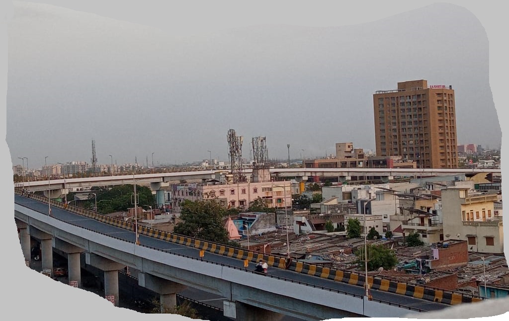
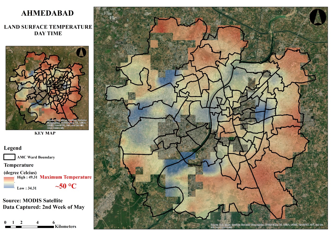
Urbanization replaces natural land cover with buildings and pavement that absorb and retain heat. Our drone team in Ahmedabad saw the effect first hand.
Home / Blogs
Urbanization replaces natural land cover with buildings and pavement that absorb and retain heat. Our drone team in Ahmedabad saw the effect first hand.
A story of a fictional city, Adumaba, and how geospatial databases and big data helped it plan Green and Blue infrastructure.
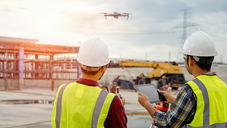
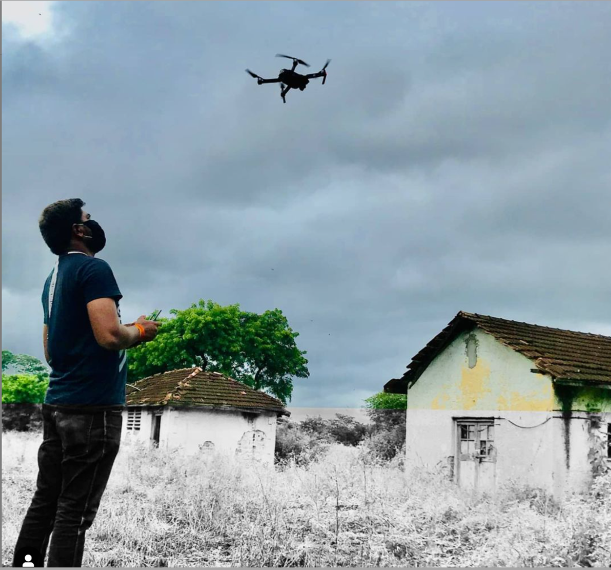
Drones capture high resolution, accurate data that can be processed into orthomosaics and 3D models. Here is where they are used in surveying.
Five steps for a drone survey, from checking local rules before you leave the office to geotagging your images.
Prenatal care is one of the most important aspects of preventive medicine. GIS can show where health centres are needed most.
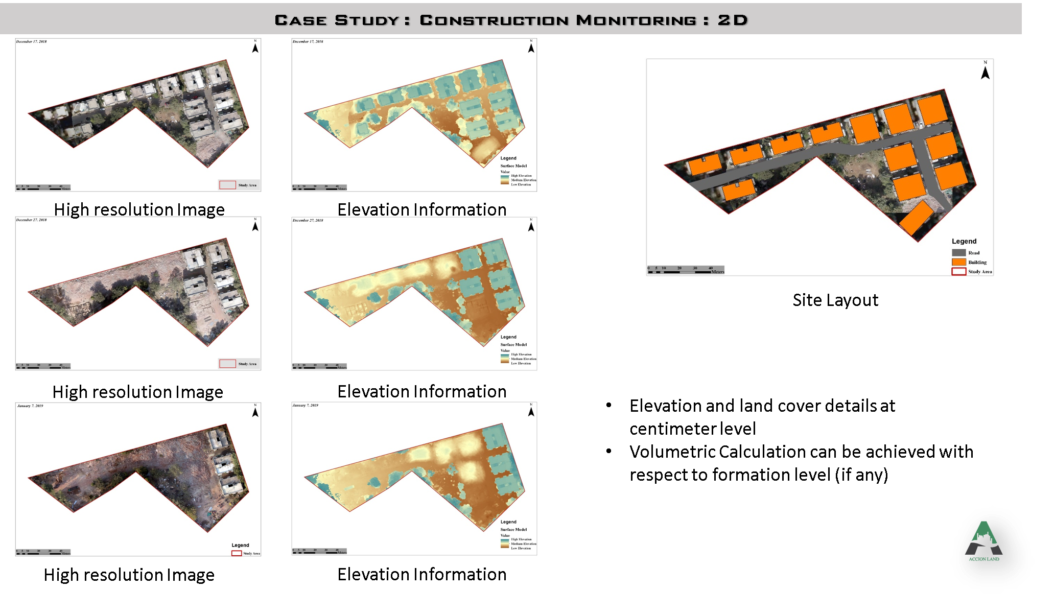
GIS helps project managers, site engineers and clients track cost, progress and design coordination on construction projects.
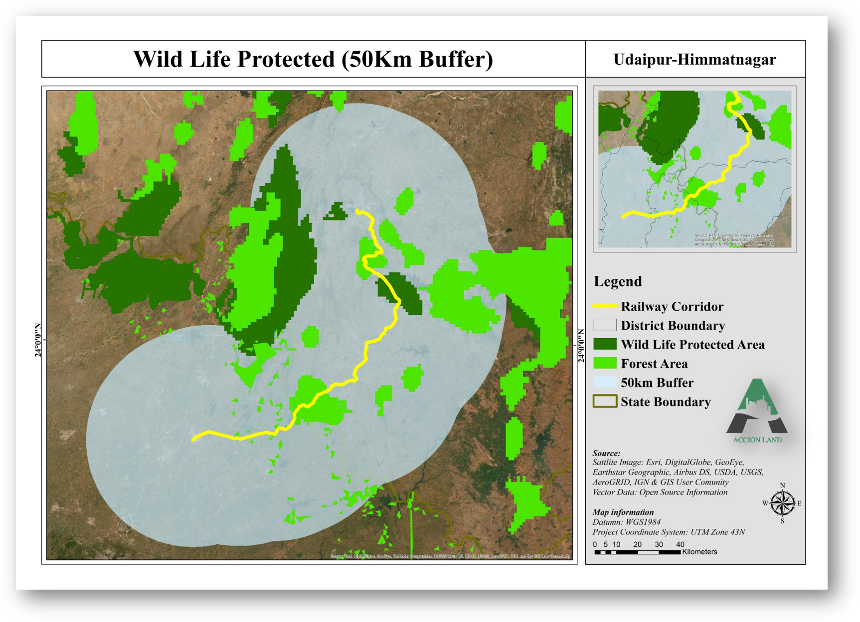
Geographic information systems and remote sensing are important tools for monitoring biodiversity and planning its conservation.
India's road network is huge and its data is scattered. GIS helps planners use limited funds for highways and transport better.
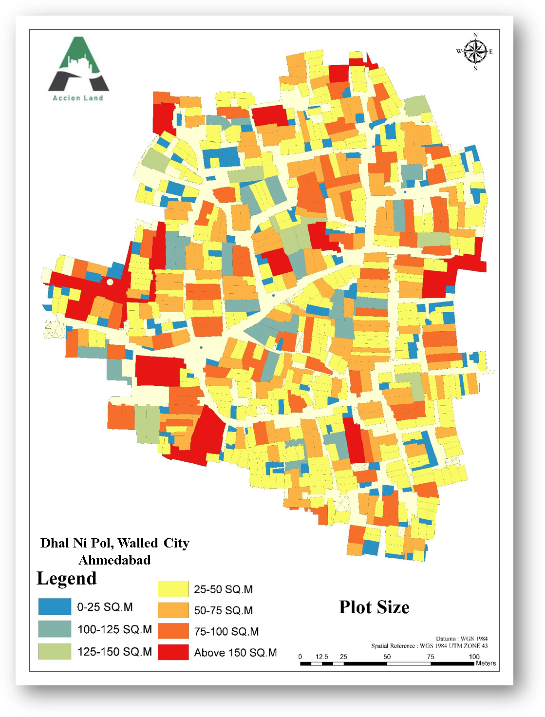
Urban planners, surveyors and engineers use GIS to store, analyze and visualize the physical, social and economic data of a city.
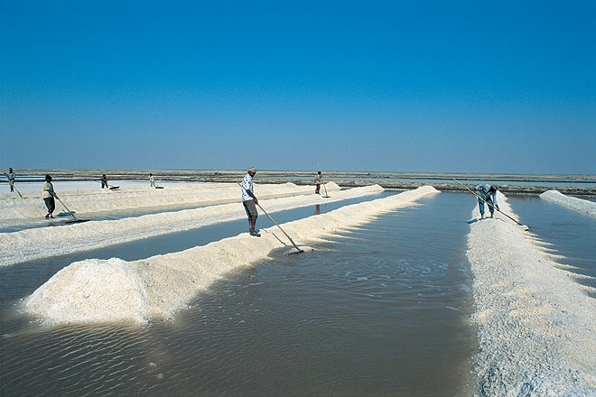
Salt pan workers in the Rann of Kutch pick sites by instinct. Drones carrying ground penetrating radar could detect brine before they dig.
No posts match your search. Try another category or keyword.