Urbanization is often described as the development of human habitats in today's world. One of its major characteristics is the replacement of natural land cover with a dense built environment of buildings, pavement and other surfaces. These surfaces absorb and retain heat, causing the Urban Heat Island effect. Urbanization aims to improve quality of life, but it also has a flip side: along with other human activities, it is responsible for climate change.
The whole world is feeling the consequences, with new records for summer temperatures. Many studies and reports have recently looked at prevailing heatwaves and their impact on various resources.
This article shares the experience of our drone team, which has worked in different areas of Ahmedabad since February 2022 collecting data for a project on 3D building energy models. Over the months the team saw a drastic change in temperature patterns across the city. Summers are getting so hot that it is very difficult for team members to work continuously under the sun, which shortens working hours, delays the work and causes health problems.
Heat also affects our drones and other equipment. By the standards, our drones can fly up to a maximum of about 50°C. But what happens when a drone flies at 50°C for more than an hour? The temperature it experiences will not stay at 50°C. As a result, we noted many drone failures during this summer's heatwaves, causing social as well as economic losses.
Talking in numbers
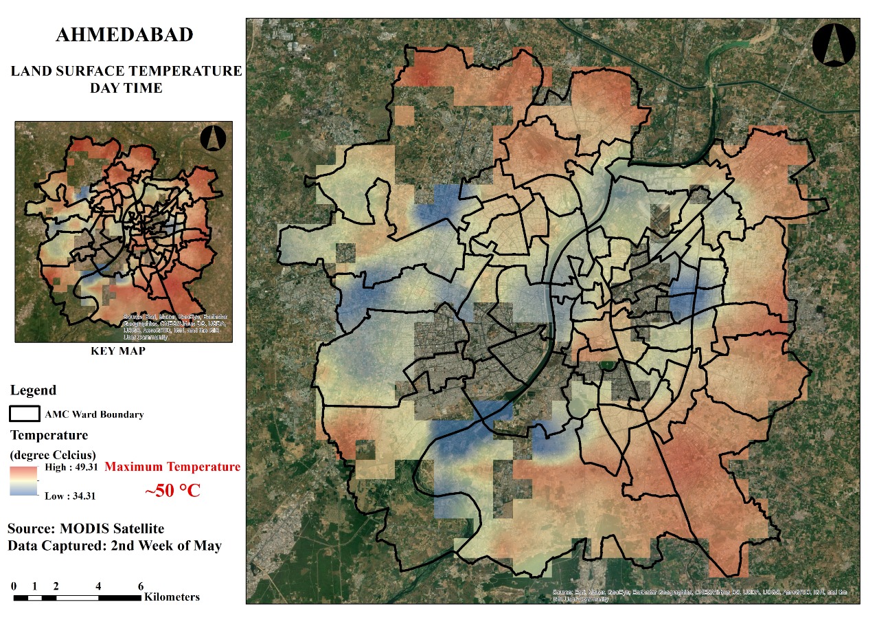
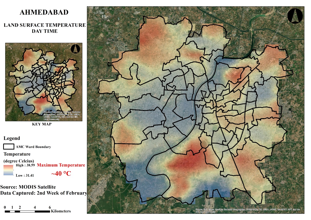
The maps below show the land surface temperature of Ahmedabad for February and May 2022. There is a clear 30% to 40% increase in the area with higher temperatures over those months, which shows how much heat the city is now holding. This resulted in a 20% decrease in productivity and a 30% decrease in working hours.