Urban planners, surveyors and engineers use GIS as a tool to design neighborhoods and cities. In plan making, visualization, spatial analysis and spatial modelling are common GIS functions. GIS helps store, manipulate and analyze the physical, social and economic data of a city. To analyse the existing and present scenario of a city, planners use the spatial query and mapping functions GIS provides. It can also help identify areas of conflict, for example land development that must keep the environment intact, by overlaying existing development on suitability maps.
A municipal planning committee can visualize agricultural land, surface water, high flood frequency and highly erodible land using the multi-layered mapping in GIS. With such data an informed decision can be made to avoid developing areas with frequent flooding, since it would be difficult to attract residents there. GIS can also help monitor an area or run a feasibility study of a location for a specific purpose, such as judging whether a site can support a bridge or a dam.
Feasibility studies for smaller structures such as schools and hospitals can also be carried out effectively with GIS. The same goes for judging whether an area is suitable for water disposal and treatment, because GIS helps identify changes in any geographical feature, or in the behavior of land, over a specified period. This information lets professionals decide more smartly about the development condition of an area or site after proper study and assessment.
Planners also use GIS to smooth citizen participation and community input once they have a vision for improving quality of life for the community. Citizens are the life and blood of a city, so taking their first-hand input into account makes the city smarter and helps craft productive methods for successful urban planning.
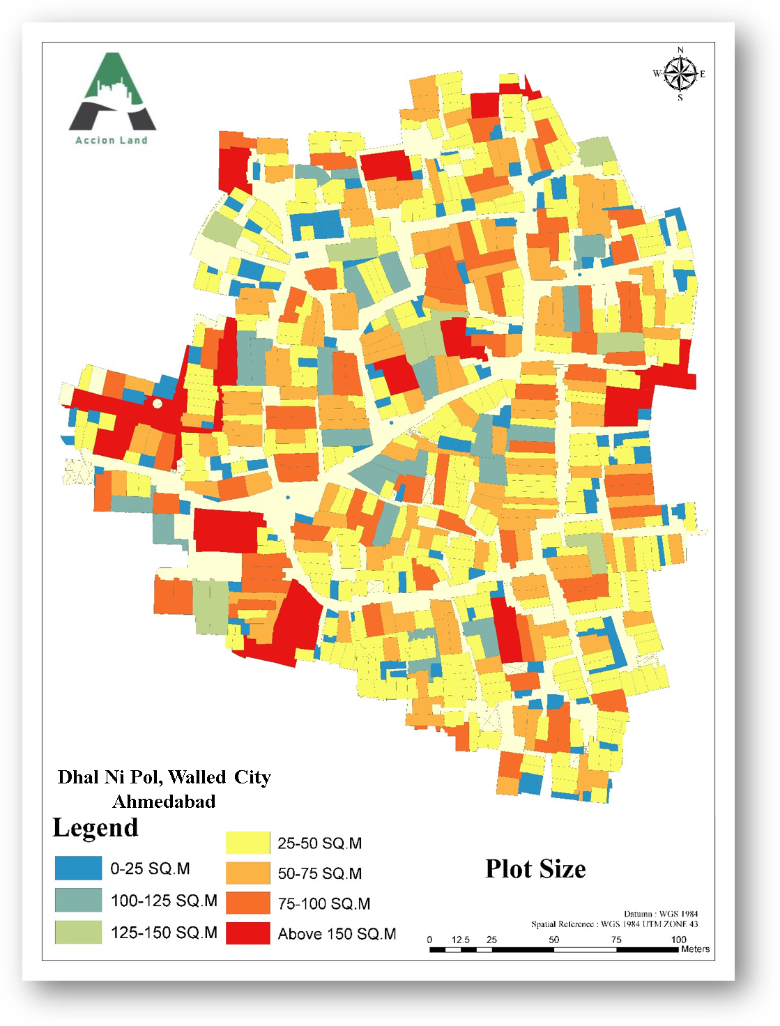
Below is a sample GIS-based analysis done to identify plot sizes.