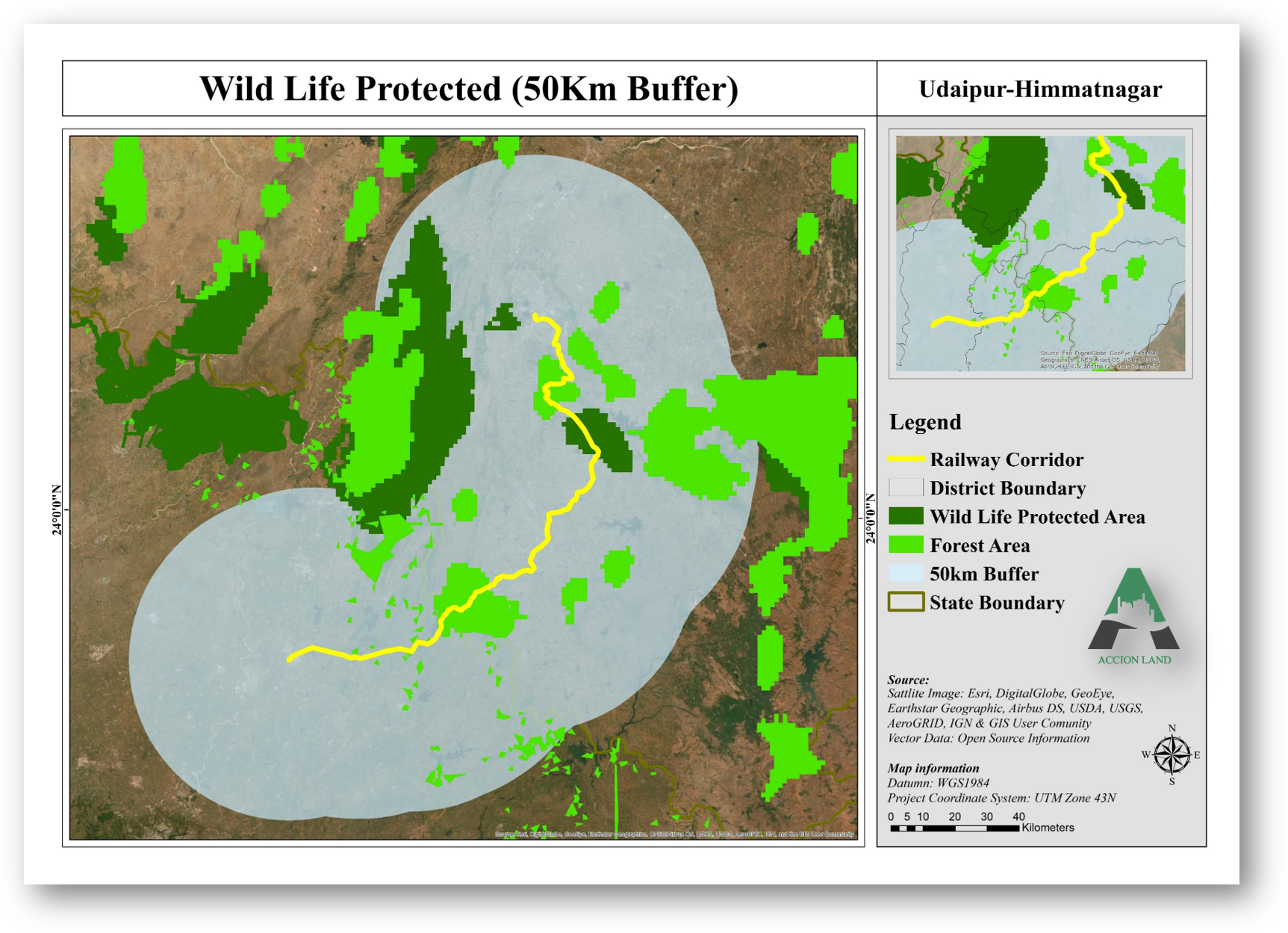
There has been a revolution in the availability of information and in managing it through the development and application of tools. For biodiversity in particular, the information needed varies. A database of biodiversity information has to be based on geography, so that an expert can predict where new populations of endangered species with a limited known range may be found and point to potential hot spots. Geographic information systems (GIS) and remote sensing are important tools for monitoring biodiversity, because they handle a wide variety of spatial and non-spatial attributes and data. GIS is widely defined as “a computer-based system that captures, stores, manages, analyses, and displays geo-referenced data.” In GIS, information is embedded into targeted surveys and the monitoring of different schemes. Information collected on species and habitat distribution at various dates allows monitoring of a particular location and of the extent of change in an area.
Remote sensing techniques generate many kinds of thematic data. They give a synoptic view of the status and condition of forests on a real-time basis. The type of vegetation and maps of density are two primary layers of spatial data generated from satellite data. With this information you can assess the growing stock, analyse the spatial landscape, and prepare derived maps on phytosociological data, bio-climate, topography, soil and wildlife management.
Remote sensing may be the only practical way to identify changes in the global forest ecosystem and to assess and prioritize the success or failure of conservation efforts. GIS accommodates a large variety of non-spatial and spatial data and supports the analysis of measurements and planning related to biodiversity. Data on the environment and ecological systems is gathered, stored and analysed using GIS for better management. Remote sensing satellite suites supply data on vegetation and land cover. The factors and components of vegetation structure and composition form the base for mapping. Image processing techniques such as visual image interpretation, algorithms and object-oriented methods make it possible to map elements of biodiversity, including the number of trees, species composition, crown closure and vegetation index, and so to understand biodiversity and take adequate steps to preserve and conserve it.