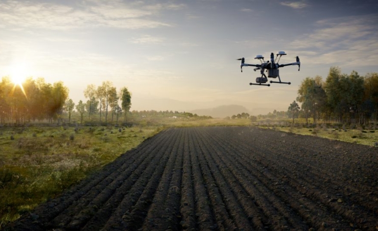
Accionland gis services shall play important role in crop production throughout the world by helping farmers in increasing production, reducing costs, and managing their land resources more efficiently. GIS application in agriculture such as agricultural mapping plays a vital role in monitoring and management of soil and irrigation of any given farm land.

Be it Energy, Transport, Environment or Industrial infrastructure –
GIS is an excellent tool for planning, designing & integrating separate data sets from different stakeholders in all sorts of formats, informing H&H modeling and conservation strategies.

We use Datasets from environmental, to infrastructure to socio-economic. Our focus on cartography and how maps can be used to convey hazard, risk and uncertainty plays an important role on how we see risk & resilience. Our Spatial lab adds value for determining innovative disasters loss assessment and developing resilience

Accoionland have long understood the benefits of aerial survey and continue to help our clients find the most cost-effective solution for their requirements, delivered via UAV surveys. The use of UAV (drones) has revolutionized the survey industry in the last 10 years and we have integrated this new technology seamlessly into our daily operations. In addition, we offer visual inspection of assets using aerial inspection surveys which can avoid the need for costly mobile elevated working platforms or scaffolding.

Whether you’re performing a view-shed analysis, creating regulatory documents, or designing a new community plan, GIS is a crucial tool for data compilation, analysis, and visualization.
